Grid reference SH5271
near to Llanfair Pwllgwyngyll, Isle of Anglesey/Sir Ynys Mon, Wales
Coverage
We have
just one image
mentioning SH5271 [Note: currently only matches 4 figure grid references]
Contribute
Explore gridsquare SH5271
Surrounding area
Maps
 Map © Crown Copyright")
TIP: Click the map for more Large scale mapping
Tip: Click the map to open the coverage map
We have
just one image
mentioning SH5271 [Note: currently only matches 4 figure grid references]
|
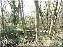
SH5478 : The highest bridging point on Afon Braint
by Eric Jones
The Braint is an unusual river in that it has two estuaries some 7 miles apart. The stream divides near Llanfairpwll, one section flowing SE to discharge into the Menai Straits at Pwllfanogl. The other section flows a further six miles... (more)
|
|