Grid reference SH4174
near to Mona, Isle of Anglesey/Sir Ynys Mon, Wales
Coverage
We have
just one image
of other squares, taken from SH4174
Contribute
Explore gridsquare SH4174
Surrounding area
Maps
 Map © Crown Copyright")
TIP: Click the map for more Large scale mapping
Tip: Click the map to open the coverage map
We have
just one image
taken from SH4174 of other squares
|
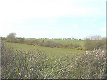
SH4074 : Hill slope above a tributary of Afon Gwna
by Eric Jones
|
|