2008
SH3976 : View NW across farmland in the direction of Coed Hendre Woodland
taken 16 years ago, near to Gwalchmai, Isle of Anglesey/Sir Ynys Mon, Wales
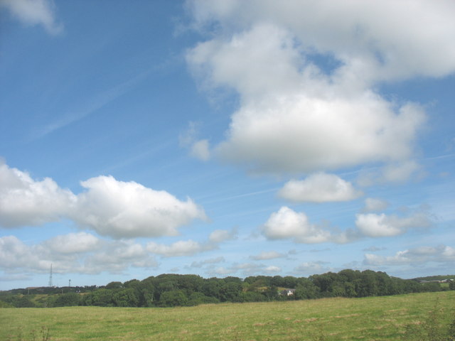
View NW across farmland in the direction of Coed Hendre Woodland
 Map © Crown Copyright")
TIP: Click the map for more Large scale mapping
- Grid Square
- SH3976, 29 images (more nearby 🔍)
- Photographer
- Eric Jones (more nearby)
- Date Taken
- Monday, 21 July, 2008 (more nearby)
- Submitted
- Sunday, 27 July, 2008
- Subject Location
-
OSGB36:
 SH 395 761 [100m precision]
WGS84: 53:15.4549N 4:24.3879W - Camera Location
-
OSGB36: SH 396 760
- View Direction
- Northwest (about 315 degrees)