2008
SH4474 : Farmland and lane used as a public footpath at Rhostrehwfa
taken 16 years ago, near to Llangristiolus, Isle of Anglesey/Sir Ynys Mon, Wales
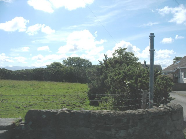
Farmland and lane used as a public footpath at Rhostrehwfa
 Map © Crown Copyright")
TIP: Click the map for more Large scale mapping
- Grid Square
- SH4474, 20 images (more nearby 🔍)
- Photographer
- Eric Jones (more nearby)
- Date Taken
- Friday, 4 July, 2008 (more nearby)
- Submitted
- Wednesday, 9 July, 2008
- Subject Location
-
OSGB36:
 SH 441 747 [100m precision]
WGS84: 53:14.7869N 4:20.2763W - Camera Location
-
OSGB36: SH 440 747
- View Direction
- EAST (about 90 degrees)