2008
SH4174 : Poultry facility alongside the A55
taken 16 years ago, near to Mona, Isle of Anglesey/Sir Ynys Mon, Wales
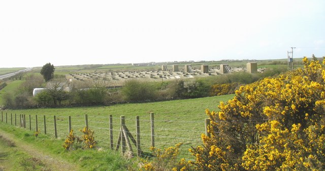
Poultry facility alongside the A55
 Map © Crown Copyright")
TIP: Click the map for more Large scale mapping
- Grid Square
- SH4174, 21 images (more nearby 🔍)
- Photographer
- Eric Jones (more nearby)
- Date Taken
- Wednesday, 23 April, 2008 (more nearby)
- Submitted
- Monday, 28 April, 2008
- Subject Location
-
OSGB36:
 SH 412 745 [100m precision]
WGS84: 53:14.6507N 4:22.7959W - Camera Location
-
OSGB36: SH 413 744
- View Direction
- Northwest (about 315 degrees)