2019
SH4374 : Field bounded by hedge
taken 5 years ago, near to Llangristiolus, Isle of Anglesey/Sir Ynys Mon, Wales
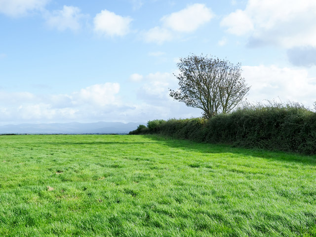
Field bounded by hedge
The field is on the south side of the A55, south of Rhostrehwfa. The dense hedge conceals an OS trig point, not visible in the image and hardly to be seen at all so thick is the hedge. The pillar has flush bracket No. S7320 and is close to the tree, a few metres to the right of it.
 Map © Crown Copyright")
TIP: Click the map for more Large scale mapping
- Grid Square
- SH4374, 45 images (more nearby 🔍)
- Photographer
- Trevor Littlewood (more nearby)
- Date Taken
- Tuesday, 8 October, 2019 (more nearby)
- Submitted
- Monday, 14 October, 2019
- Subject Location
-
OSGB36:
 SH 4333 7403 [10m precision]
WGS84: 53:14.4068N 4:20.9479W - Camera Location
-
OSGB36: SH 4327 7405
- View Direction
- East-southeast (about 112 degrees)