2015
SH4374 : Cefncwmwd Summit
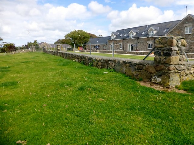
taken 9 years ago, near to Llangristiolus, Isle of Anglesey/Sir Ynys Mon, Wales
This is 1 of 2 images, with title starting with Cefncwmwd in this square
Cefncwmwd Summit
Easy bag after finding the nearby hidden trig with Paul Webster.
Name: Cefncwmwd
Hill number: 14828
Height: 84m / 276ft
Parent (Ma/M): 1961 Mynydd Bodafon [Yr Arwydd]
Section: 30A: Anglesey and the Lleyn Peninsula
County/UA: Anglesey [Sir Fon] (CoU)
Maritime Area: North Wales - Anglesey
Island: Anglesey
Class: Tump (0-99m)
Grid ref: SH 43447 74204
Summit feature: no feature: level pasture by garden fence
Drop: 35m
Col: 49m SH420749
 Map © Crown Copyright")
TIP: Click the map for more Large scale mapping
- Grid Square
- SH4374, 45 images (more nearby 🔍)
- Photographer
- Rude Health (more nearby)
- Date Taken
- Saturday, 15 August, 2015 (more nearby)
- Submitted
- Monday, 17 August, 2015
- Subject Location
-
OSGB36:
 SH 43447 74204 [1m precision]
WGS84: 53:14.5027N 4:20.8480W - Camera Location
-
OSGB36: SH 4344 7419
- View Direction
- North-northeast (about 22 degrees)