2009
NT1783 : Braefoot Point Dalgety Bay
taken 15 years ago, near to Dalgety Bay, Fife, Scotland
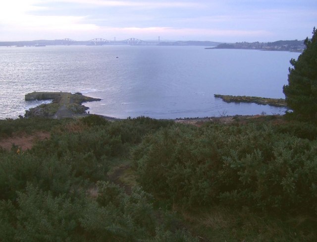
Braefoot Point Dalgety Bay
Gorse thrives well on this exposed outcrop. The ground is hard rock visible where the rains and wind have eroded the thin covering of topsoil.
 Map © Crown Copyright")
TIP: Click the map for more Large scale mapping
- Grid Square
- NT1783, 36 images (more nearby 🔍)
- Photographer
- Simon Johnston (more nearby)
- Date Taken
- Saturday, 31 January, 2009 (more nearby)
- Submitted
- Sunday, 21 June, 2009
- Subject Location
-
OSGB36:
 NT 176 830 [100m precision]
WGS84: 56:2.0104N 3:19.3777W - Camera Location
-
OSGB36: NT 177 831
- View Direction
- Southwest (about 225 degrees)