2009
NY7976 : Stonehaugh and Warks Burn
taken 15 years ago, near to Stonehaugh, Northumberland, England
This is 1 of 4 images, with title starting with Stonehaugh in this square
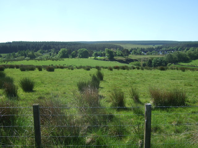
Stonehaugh and Warks Burn
Taken from the Sustrans Route 68 cycleway.
 Map © Crown Copyright")
TIP: Click the map for more Large scale mapping
- Grid Square
- NY7976, 49 images (more nearby 🔍)
- Photographer
- Simon Johnston (more nearby)
- Date Taken
- Saturday, 30 May, 2009 (more nearby)
- Submitted
- Saturday, 20 June, 2009
- Subject Location
-
OSGB36:
 NY 791 767 [100m precision]
WGS84: 55:5.0743N 2:19.6612W - Camera Location
-
OSGB36: NY 791 767
- View Direction
- Southeast (about 135 degrees)