2009
NY7976 : Sustrans Route 68 near Shiela Crag
taken 15 years ago, near to Stonehaugh, Northumberland, England
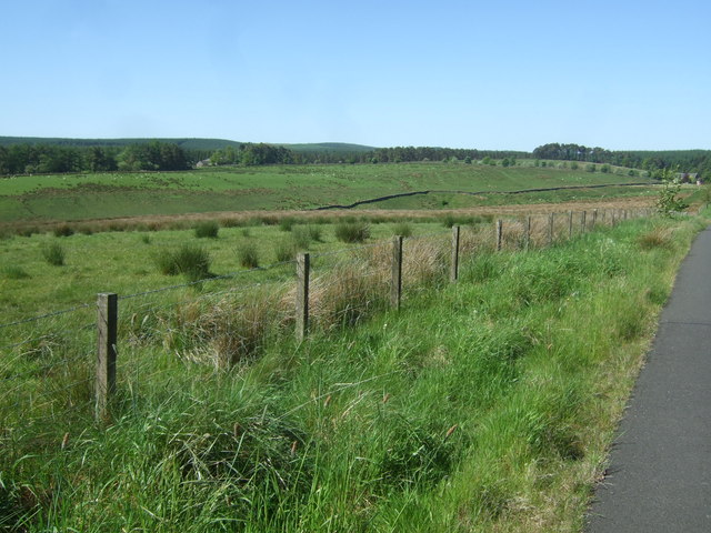
Sustrans Route 68 near Shiela Crag
Looking toward Cowcrook Moss and Brown Rigg. Old School House far right.
 Map © Crown Copyright")
TIP: Click the map for more Large scale mapping
- Grid Square
- NY7976, 49 images (more nearby 🔍)
- Photographer
- Simon Johnston (more nearby)
- Date Taken
- Saturday, 30 May, 2009 (more nearby)
- Submitted
- Saturday, 20 June, 2009
- Subject Location
-
OSGB36:
 NY 790 767 [100m precision]
WGS84: 55:5.0632N 2:19.7457W - Camera Location
-
OSGB36: NY 791 767
- View Direction
- Southwest (about 225 degrees)