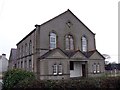
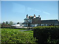
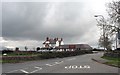
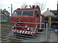
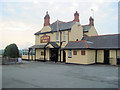
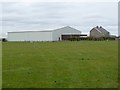
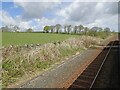
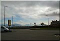
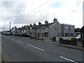
Grid reference SH4871
near to Gaerwen, Isle of Anglesey/Sir Ynys Mon, Wales
Coverage
We have
34 images
in grid square SH4871
Contribute
Explore gridsquare SH4871
Surrounding area
Maps
 Map © Crown Copyright")
TIP: Click the map for more Large scale mapping
Tip: Click the map to open the coverage map
We have
34 images
for SH4871
Because there are so many images for this square, please select images by Taken:
The groupings will show an example image [total number in brackets].
· Taken 2006 [1] · Taken 2007 [1] · Taken 2008 [10]
[Centisquare Distribution]· Taken 2010 [10]
[Centisquare Distribution]· Taken 2011 [2]
[Centisquare Distribution]· Taken 2016 [2]
[Centisquare Distribution]· Taken 2018 [1] · Taken 2019 [2]
[Centisquare Distribution]· Taken 2024 [5]
[Centisquare Distribution]