Grid reference SE7243
near to East Cottingwith, East Riding of Yorkshire, England
Coverage
We have
13 images
in grid square SE7243
Contribute
Explore gridsquare SE7243
Surrounding area
Maps
 Map © Crown Copyright")
TIP: Click the map for more Large scale mapping
Tip: Click the map to open the coverage map
We have
13 images
for SE7243
|
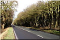
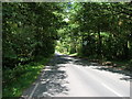
Southwood
This wood straddles the B1228.
|
|
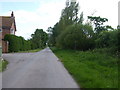
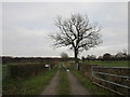
Ballhall Lane at West Farm
by Glyn Drury
|
|
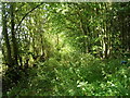
Woodland track, The Whin
by JThomas
|
|
New Covert and Park Wood on General Lane
by Ian S
|
|
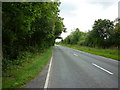
B1228 heading north
by JThomas
|
|
The B1228, General Lane
by Ian S
|
|
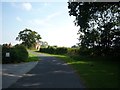
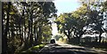
Towards Ballhall Farm
by DS Pugh
Looking along Ballhall Lane.
|
|
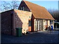
New conversion, Jennywren Cottage |
|
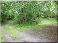
Track to Ball Hall caravan site
This area has several recreational sites. The land is poor but the area attractive.
|
|
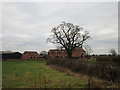
Ball Hall Farm |
|
B1228 near The Whin |
|
Entrance to Willow Glade Farm
by David Brown
|
|
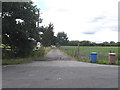
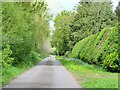
Ballhall Lane
Straight minor road through thick vegetation. On the right [off picture] are some chalets and park homes close to small lakes, the origins of which are a bit of a mystery. Old maps fail to provide a clue, but are they old clay pits, similar... (more)
|
|