Grid reference SE7242
near to East Cottingwith, East Riding of Yorkshire, England
Coverage
We have
14 images
in grid square SE7242
Contribute
Explore gridsquare SE7242
Surrounding area
Maps
 Map © Crown Copyright")
TIP: Click the map for more Large scale mapping
Tip: Click the map to open the coverage map
We have
14 images
for SE7242
|
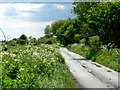
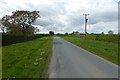
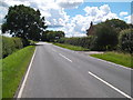
Wide Verges
Many of the country roads in this area look much the same
|
|
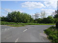
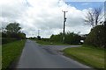
Ballhall Lane junction
by Glyn Drury
|
|
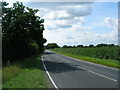
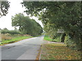
B1228 towards Ellerton
by JThomas
|
|
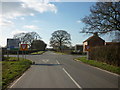
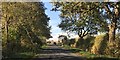
Approaching the B1228, General Lane
by Ian S
|
|
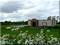
Concrete Block Construction
Will this be a barn, a house or a rural factory?
|
|
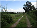
Farm track, East Cottingwith Common
Former moorland now long since approved for agriculture.
|
|
Small area of woodland near Forest Farm |
|
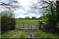
Gate near Boundary Farm
by DS Pugh
Looking into a field from the road to East Cottingwith.
|
|
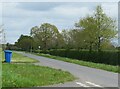
Lane to East Cottingwith
by DS Pugh
Looking along the dandelion lined road to East Cottingwith.
|
|
Entrance to Forest Farm
by DS Pugh
Close to the junction with Ballhall Lane.
|
|
Road to East Cottingwith at Boundary Farm
by John Slater
|
|
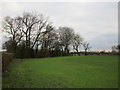
Ash Lane near Boundary Farm |
|
Approaching the crossroads at Boundary Farm
by David Brown
|
|
Road junction by Forest Farm
Junction of minor roads in flat countryside, where old maps reveal a bench mark just 25ft above sea level.
|
|