Grid reference NJ8052
near to Garmond, Aberdeenshire, Scotland
Coverage
We have
8 images
in grid square NJ8052
Contribute
Explore gridsquare NJ8052
Surrounding area
Maps
 Map © Crown Copyright")
TIP: Click the map for more Large scale mapping
Tip: Click the map to open the coverage map
We have
8 images
for NJ8052
|
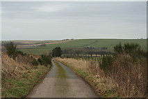
Lane for Bruntland Farm
by Des Colhoun
|
|
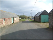
Minor road towards Millfield
by JThomas
|
|
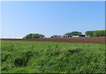
Woodton
by Anne Burgess
Woodton stands on a ridge above the road, and must have a fine view.
|
|
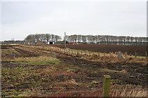
Woodton Auchry Farm
by Des Colhoun
|
|
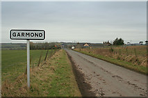
Approaching Garmond from the north
by Des Colhoun
|
|
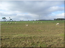
Grazing land, Garmond
by JThomas
|
|
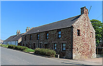
Old Hall Buildings
by Anne Burgess
This and a similar neighbouring house caught my eye because of the distinctive red stone and absence of harling. It is a Category C Listed Building dating from the late 18th century.
|
|
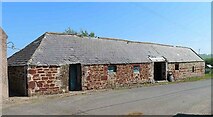
Sandstone Shed
by Anne Burgess
This shed is similar in style and construction to NJ8052 : Old Hall Buildings, so I assume that it too is late 18th century. It isn't a Listed Building, probably because it has evidently been altered to block some doorways and enlarge others.
|
|