2008
SH4274 : Valley wetland
taken 16 years ago, near to Mona, Isle of Anglesey/Sir Ynys Mon, Wales
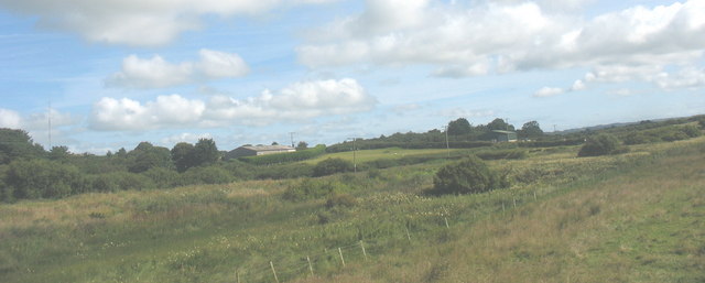
Valley wetland
 Map © Crown Copyright")
TIP: Click the map for more Large scale mapping
- Grid Square
- SH4274, 15 images (more nearby 🔍)
- Photographer
- Eric Jones (more nearby)
- Date Taken
- Monday, 21 July, 2008 (more nearby)
- Submitted
- Sunday, 27 July, 2008
- Subject Location
-
OSGB36:
 SH 428 748 [100m precision]
WGS84: 53:14.8400N 4:21.4124W - Camera Location
-
OSGB36: SH 427 748
- View Direction
- Northeast (about 45 degrees)