2008
SH4972 : Field separating the A5 and A55
taken 16 years ago, near to Gaerwen, Isle of Anglesey/Sir Ynys Mon, Wales
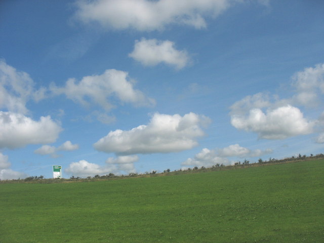
Field separating the A5 and A55
The road sign indicates the up-coming slip road for Gaerwen,
 Map © Crown Copyright")
TIP: Click the map for more Large scale mapping
- Grid Square
- SH4972, 24 images (more nearby 🔍)
- Photographer
- Eric Jones (more nearby)
- Date Taken
- Monday, 21 July, 2008 (more nearby)
- Submitted
- Saturday, 26 July, 2008
- Subject Location
-
OSGB36:
 SH 498 721 [100m precision]
WGS84: 53:13.5066N 4:15.0467W - Camera Location
-
OSGB36: SH 499 720
- View Direction
- North-northwest (about 337 degrees)