2008
SH4573 : Reclaimed farmland on the western edge of the Malltraeth Marsh
taken 16 years ago, near to Llangristiolus, Isle of Anglesey/Sir Ynys Mon, Wales
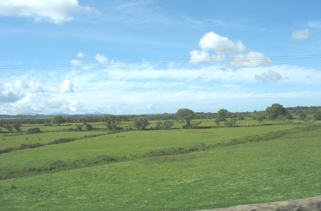
Reclaimed farmland on the western edge of the Malltraeth Marsh
 Map © Crown Copyright")
TIP: Click the map for more Large scale mapping
- Grid Square
- SH4573, 29 images (more nearby 🔍)
- Photographer
- Eric Jones (more nearby)
- Date Taken
- Friday, 4 July, 2008 (more nearby)
- Submitted
- Wednesday, 9 July, 2008
- Subject Location
-
OSGB36:
 SH 452 733 [100m precision]
WGS84: 53:14.0898N 4:19.2312W - Camera Location
-
OSGB36: SH 452 735
- View Direction
- South-southwest (about 202 degrees)