2008
SH5172 : The chapel and vestry at Penygarnedd (Pencarneddi) from a bend in the road
taken 16 years ago, near to Llanfair Pwllgwyngyll, Isle of Anglesey/Sir Ynys Mon, Wales
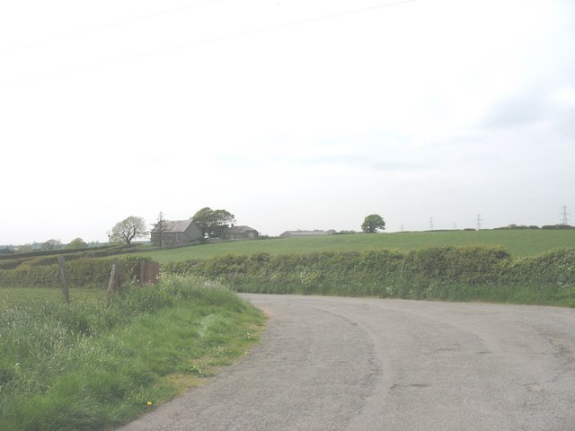
The chapel and vestry at Penygarnedd (Pencarneddi) from a bend in the road
 Map © Crown Copyright")
TIP: Click the map for more Large scale mapping
- Grid Square
- SH5172, 18 images (more nearby 🔍)
- Photographer
- Eric Jones (more nearby)
- Date Taken
- Friday, 16 May, 2008 (more nearby)
- Submitted
- Monday, 19 May, 2008
- Subject Location
-
OSGB36:
 SH 510 725 [100m precision]
WGS84: 53:13.7160N 4:13.9520W - Camera Location
-
OSGB36: SH 512 724
- View Direction
- West-northwest (about 292 degrees)