SU2836 : Benham Drove, near Nether Wallop
taken 17 days ago, near to Middle Wallop, Hampshire, England
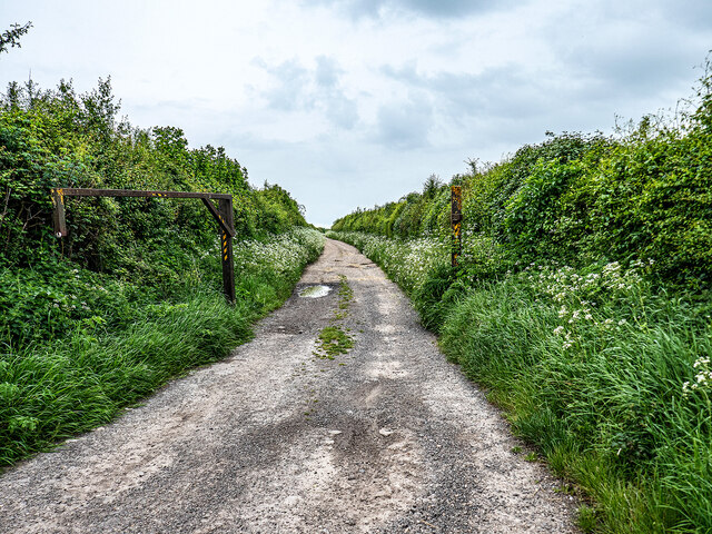
Benham Drove, near Nether Wallop.
A restricted byway leading across Hollom Down.
 Map © Crown Copyright")
TIP: Click the map for more Large scale mapping
- Grid Square
- SU2836, 6 images (more nearby 🔍)
- Photographer
- John Lucas (more nearby)
- Date Taken
- Thursday, 16 May, 2024 (more nearby)
- Submitted
- Sunday, 19 May, 2024
- Subject Location
-
OSGB36:
 SU 2895 3683 [10m precision]
WGS84: 51:7.8012N 1:35.2597W - Camera Location
-
OSGB36: SU 2898 3684
- View Direction
- West-southwest (about 247 degrees)