SP6691 : Saddington Reservoir
taken 25 days ago, near to Saddington, Leicestershire, England
This is 1 of 9 images, with title Saddington Reservoir in this square
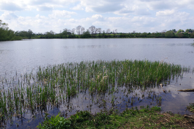
Saddington Reservoir
Saddington Reservoir is part of the Canal & River Trust's infrastructure used to feed the Leicester Line of the Grand Union Canal. It was built between 1793 and 1797 and covers 19.1 hectares (47 acres).
 Map © Crown Copyright")
TIP: Click the map for more Large scale mapping
- Grid Square
- SP6691, 56 images (more nearby 🔍)
- Photographer
- Stephen McKay (more nearby)
- Date Taken
- Wednesday, 8 May, 2024 (more nearby)
- Submitted
- Tuesday, 14 May, 2024
- Subject Location
-
OSGB36:
 SP 6641 9113 [10m precision]
WGS84: 52:30.8412N 1:1.3701W - Camera Location
-
OSGB36: SP 6652 9110
- View Direction
- West-northwest (about 292 degrees)