SP6989 : Fields south of Gumley Road
taken 25 days ago, near to Gumley, Leicestershire, England
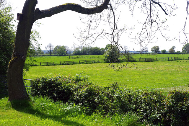
Fields south of Gumley Road
Countryside seen from the Foxton Locks top car park.
 Map © Crown Copyright")
TIP: Click the map for more Large scale mapping
- Grid Square
- SP6989, 420 images (more nearby 🔍)
- Photographer
- Stephen McKay (more nearby)
- Date Taken
- Wednesday, 8 May, 2024 (more nearby)
- Submitted
- Wednesday, 8 May, 2024
- Subject Location
-
OSGB36:
 SP 6914 8901 [10m precision]
WGS84: 52:29.6776N 0:58.9832W - Camera Location
-
OSGB36: SP 6916 8907
- View Direction
- South-southwest (about 202 degrees)