SH5371 : North Wales Expressway A55 bridge over Holyhead Road (A5)
taken 23 days ago, near to Llanfair Pwllgwyngyll, Isle of Anglesey/Sir Ynys Mon, Wales
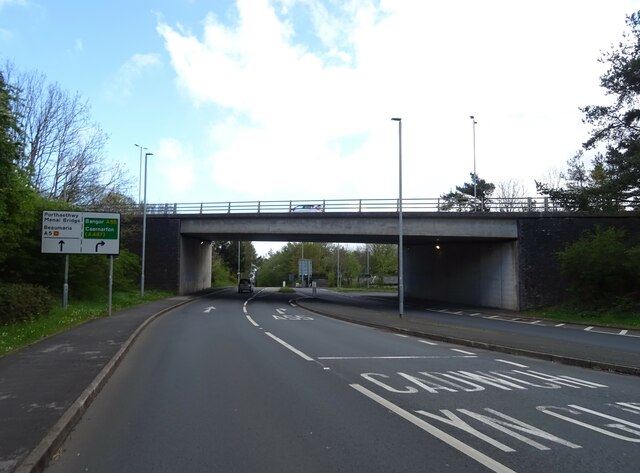
North Wales Expressway A55 bridge over Holyhead Road (A5)
A55 Road
The A55 is also known as the North Wales expressway. Originally it ran from Chester to Bangor, but was extended in 2001 across Anglesey to Holyhead. It is dual carriageway along its entire length.
Wikipedia: Link
The A5
The A5 is a major trunk road which runs for about 181 miles from London, in England, to Holyhead, in Wales. For part of its route, it follows a section of the Roman route which later took the Anglo-Saxon name Watling Street. At Oswestry, the A5 joins the A483 and becomes the bypass to the east of the town. It continues to multiplex with the A483 until it reaches Halton, where it diverges towards Llangollen and Holyhead.
 Map © Crown Copyright")
TIP: Click the map for more Large scale mapping
- Grid Square
- SH5371, 188 images (more nearby 🔍)
- Photographer
- JThomas (more nearby)
- Date Taken
- Tuesday, 16 April, 2024 (more nearby)
- Submitted
- Friday, 26 April, 2024
- Subject Location
-
OSGB36:
 SH 5395 7156 [10m precision]
WGS84: 53:13.2574N 4:11.3396W - Camera Location
-
OSGB36: SH 53907 71546
- View Direction
- East-northeast (about 67 degrees)