SH5072 : A55 North Wales Expressway
taken 23 days ago, near to Gaerwen, Isle of Anglesey/Sir Ynys Mon, Wales
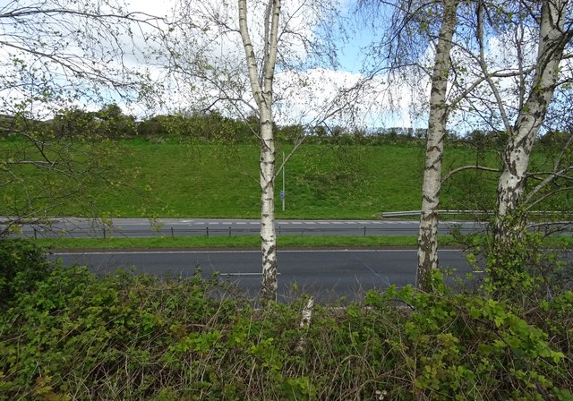
A55 North Wales Expressway
 Map © Crown Copyright")
TIP: Click the map for more Large scale mapping
- Grid Square
- SH5072, 19 images (more nearby 🔍)
- Photographer
- JThomas (more nearby)
- Date Taken
- Tuesday, 16 April, 2024 (more nearby)
- Submitted
- Friday, 26 April, 2024
- Subject Location
-
OSGB36:
 SH 5035 7203 [10m precision]
WGS84: 53:13.4506N 4:14.5854W - Camera Location
-
OSGB36: SH 50355 72024
- View Direction
- NORTH (about 0 degrees)