SH3572 : Rough grazing near Rhosbadrig
taken 23 days ago, near to Bryn du, Isle of Anglesey/Sir Ynys Mon, Wales
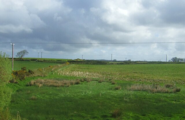
Rough grazing near Rhosbadrig
 Map © Crown Copyright")
TIP: Click the map for more Large scale mapping
- Grid Square
- SH3572, 18 images (more nearby 🔍)
- Photographer
- JThomas (more nearby)
- Date Taken
- Tuesday, 16 April, 2024 (more nearby)
- Submitted
- Friday, 26 April, 2024
- Subject Location
-
OSGB36:
 SH 355 721 [100m precision]
WGS84: 53:13.2684N 4:27.8966W - Camera Location
-
OSGB36: SH 355 721
- View Direction
- Northeast (about 45 degrees)