SE0623 : Lock 1 Rochdale Canal, Sowerby Bridge
taken 28 years ago, near to Sowerby Bridge, Calderdale, England
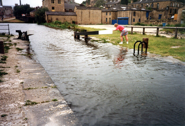
John Rennie was appointed surveyor/engineer for the Rochdale canal in June 1791, his assistant on the Rochdale was William Crosley from Halifax. A Rochdale Canal Bill was passed in 1794 and construction began. By 1799 the canal was open between Sowerby Bridge and Todmorden and from Manchester to Rochdale. The canal opened through to Manchester in 1804, the first trans-Pennine canal route. The company leased the canal to a consortium of railway companies in 1855. By the twentieth century the tonnage being carried was in sharp decline. In 1937 the last boat made the through journey across the Pennines on the Rochdale Canal. In 1952, the canal was closed apart from the short section between Castlefield and the Ashton Canal junction at Piccadilly. By 1965 the nine locks on the Rochdale through Manchester city centre were almost unusable. The Rochdale Canal Society in the 1980s and 1990s began to re-open stretches of the canal between Todmorden and Sowerby Bridge. In 1996 the canal was opened to navigation once again between Sowerby Bridge and the summit level with the construction of Tuel Lane lock and tunnel in Sowerby Bridge. With a fall of almost 20 feet, is the deepest lock on the inland waterways system. In 2000, the canal was transferred from the Rochdale Canal Company to the Waterways Trust. In July 2002, the whole 91 locks and 32 miles between Castlefield Junction and Sowerby Bridge became navigable once again.
 Map © Crown Copyright")
- Grid Square
- SE0623, 434 images (more nearby 🔍)
- Photographer
- Jo and Steve Turner (more nearby)
- Date Taken
- Saturday, 13 July, 1996 (more nearby)
- Submitted
- Tuesday, 16 April, 2024
- Subject Location
-
OSGB36:
 SE 0640 2365 [10m precision]
WGS84: 53:42.5542N 1:54.2711W - Camera Location
-
OSGB36: SE 0643 2365
- View Direction
- WEST (about 270 degrees)