SE9201 : Ordnance Survey Cut Mark
taken 2 months ago, near to Manton, North Lincolnshire, England
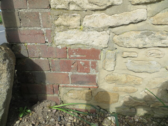
Ordnance Survey Cut Mark
This mark can be found on the roadside wall of Corner House, Cleatham.
Not recorded in current OS records but old maps record a mark at this location with a height of 90.9 feet above sea level.
For more detail see : Link
Not recorded in current OS records but old maps record a mark at this location with a height of 90.9 feet above sea level.
For more detail see : Link
 Map © Crown Copyright")
TIP: Click the map for more Large scale mapping
- Grid Square
- SE9201, 23 images (more nearby 🔍)
- Photographer
- Peter Wood (more nearby)
- Date Taken
- Saturday, 23 March, 2024 (more nearby)
- Submitted
- Sunday, 7 April, 2024
- Subject Location
-
OSGB36:
 SE 92863 01073 [1m precision]
WGS84: 53:29.8902N 0:36.0941W