SE9301 : Ordnance Survey Fundamental Bench Mark
taken 2 months ago, near to Manton, North Lincolnshire, England
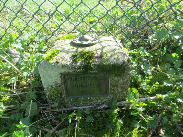
Ordnance Survey Fundamental Bench Mark
This can be found within the grounds of the Dog Training Centre at Ash Holt.
The recorded details give a height of 74.841 metres above sea level.
For more detail see : Link
The recorded details give a height of 74.841 metres above sea level.
For more detail see : Link
 Map © Crown Copyright")
TIP: Click the map for more Large scale mapping
- Grid Square
- SE9301, 25 images (more nearby 🔍)
- Photographer
- Peter Wood (more nearby)
- Date Taken
- Saturday, 23 March, 2024 (more nearby)
- Submitted
- Sunday, 7 April, 2024
- Subject Location
-
OSGB36:
 SE 93940 01263 [1m precision]
WGS84: 53:29.9811N 0:35.1169W