SK9999 : Farm track and drainage ditch separating arable land
taken 2 months ago, near to Redbourne, North Lincolnshire, England
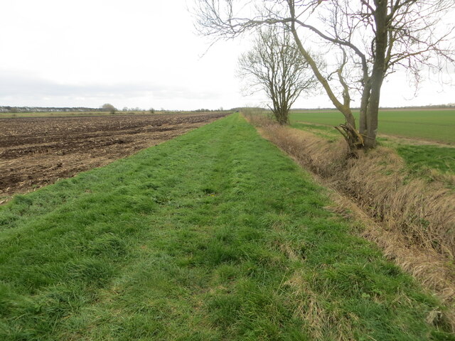
Farm track and drainage ditch separating arable land
Looking southward. The location seems to be bounded by Stoneholme, River Head and Redbourne Hayes. Interestingly I spoke with the farmer who was driving the tractor in the picture and he told me that on his land at Redbourne Hayes I could stand at the junction of Hectads SE, SK, TA and TF. I have an open invitation to do so.
 Map © Crown Copyright")
TIP: Click the map for more Large scale mapping
- Grid Square
- SK9999, 10 images (more nearby 🔍)
- Photographer
- Peter Wood (more nearby)
- Date Taken
- Saturday, 23 March, 2024 (more nearby)
- Submitted
- Sunday, 7 April, 2024
- Subject Location
-
OSGB36:
 SK 99049 99939 [1m precision]
WGS84: 53:29.2112N 0:30.5224W - Camera Location
-
OSGB36: SK 99049 99981
- View Direction
- SOUTH (about 180 degrees)