2023
SH3234 : Pont Rhyd Beirion Bridge
taken 10 months ago, near to Rhyd-y-Clafdy, Gwynedd, Wales
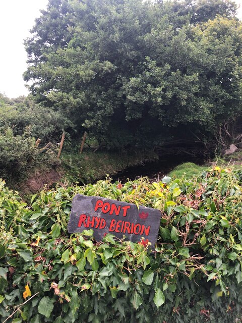
Pont Rhyd Beirion Bridge
The stream, Rhyd Beirion, runs below Lôn Pin, south of Rhyd-y-Clafdy. The local names for streams and roads have appeared in the area because of the National Eisteddfod
 Map © Crown Copyright")
TIP: Click the map for more Large scale mapping
- Grid Square
- SH3234, 30 images (more nearby 🔍)
- Photographer
- Eirian Evans (more nearby)
- Date Taken
- Saturday, 12 August, 2023 (more nearby)
- Submitted
- Thursday, 14 March, 2024
- Subject Location
-
OSGB36:
 SH 324 344 [100m precision]
WGS84: 52:52.8748N 4:29.5013W - Camera Location
-
OSGB36: SH 324 344
- View Direction
- NORTH (about 0 degrees)