NN3005 : Cowal Way north of Arrochar
taken 4 months ago, near to Succoth, Argyll And Bute, Scotland
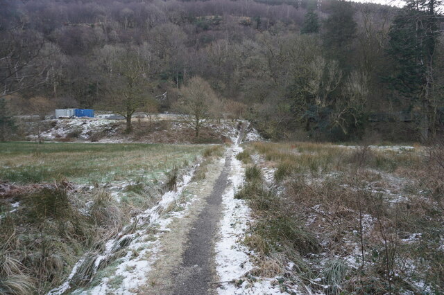
Cowal Way north of Arrochar
The Loch Lomond and Cowal Way is a waymarked footpath through the Cowal peninsula, in Argyll and Bute, between Portavadie on Cowal and Inveruglas on Loch Lomond side. It was formerly known as the Cowal Way, but was renamed in December 2018 to reflect the fact that half of the route lies with the Loch Lomond and The Trossachs National Park. The way is 92 kilometres long.
Wikipedia: Link
See other images of The Loch Lomond and Cowal Way
Wikipedia: Link
See other images of The Loch Lomond and Cowal Way
 Map © Crown Copyright")
TIP: Click the map for more Large scale mapping
- Grid Square
- NN3005, 30 images (more nearby 🔍)
- Photographer
- Ian S (more nearby)
- Date Taken
- Thursday, 8 February, 2024 (more nearby)
- Submitted
- Sunday, 11 February, 2024
- Subject Location
-
OSGB36:
 NN 3001 0513 [10m precision]
WGS84: 56:12.4981N 4:44.5361W - Camera Location
-
OSGB36: NN 2999 0514
- View Direction
- East-southeast (about 112 degrees)