2023
TA2170 : Bus shelter, Crofts Hill (B1255), Flamborough
taken 11 months ago, near to Flamborough, East Riding of Yorkshire, England
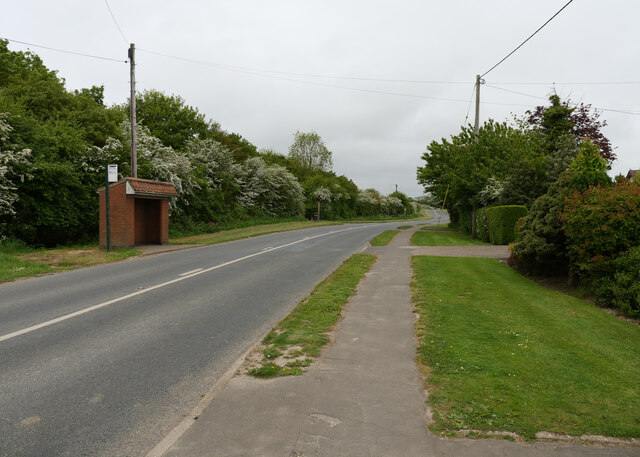
Bus shelter, Crofts Hill (B1255), Flamborough
The B1255 is a 5 mile long B-road from Bridlington to Thornwick Bay TA2371 : The end of the road, via Flamborough.
Link
See other images of B1255 Road
Link
See other images of B1255 Road
 Map © Crown Copyright")
TIP: Click the map for more Large scale mapping
- Grid Square
- TA2170, 85 images (more nearby 🔍)
- Photographer
- habiloid (more nearby)
- Date Taken
- Thursday, 1 June, 2023 (more nearby)
- Submitted
- Sunday, 25 June, 2023
- Subject Location
-
OSGB36:
 TA 2199 7017 [10m precision]
WGS84: 54:6.7767N 0:8.1214W - Camera Location
-
OSGB36: TA 22004 70185
- View Direction
- Southwest (about 225 degrees)