2022
SH4971 : Holyhead Road (A5)
taken 2 years ago, near to Gaerwen, Isle of Anglesey/Sir Ynys Mon, Wales
This is 1 of 2 images, with title starting with Holyhead in this square
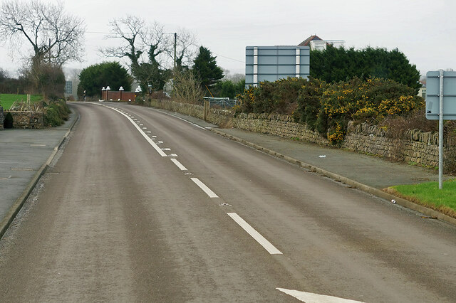
Holyhead Road (A5)
The A5 is a major trunk road which runs for about 181 miles from London, in England, to Holyhead, in Wales. For part of its route, it follows a section of the Roman route which later took the Anglo-Saxon name Watling Street. At Oswestry, the A5 joins the A483 and becomes the bypass to the east of the town. It continues to multiplex with the A483 until it reaches Halton, where it diverges towards Llangollen and Holyhead.
See other images of The A5
See other images of The A5
 Map © Crown Copyright")
TIP: Click the map for more Large scale mapping
- Grid Square
- SH4971, 17 images (more nearby 🔍)
- Photographer
- David Dixon (more nearby)
- Date Taken
- Tuesday, 15 February, 2022 (more nearby)
- Submitted
- Saturday, 5 March, 2022
- Subject Location
-
OSGB36:
 SH 493 718 [100m precision]
WGS84: 53:13.3358N 4:15.5232W - Camera Location
-
OSGB36: SH 492 718
- View Direction
- EAST (about 90 degrees)