SZ0796 : Kinson: Millhams Road
taken 4 years ago, near to Kinson, Bournemouth, Christchurch & Poole, England
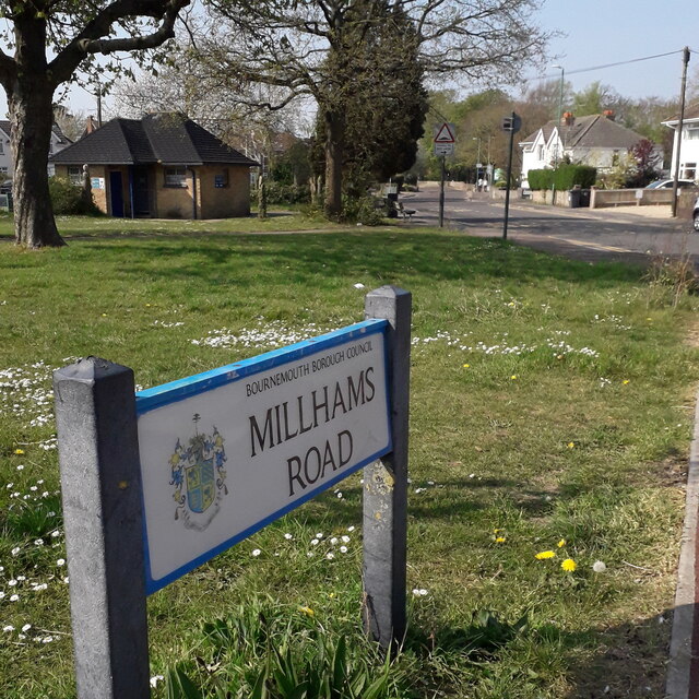
The public toilet block is visible at the far end of the green.
The road sign is a standard one from around 2000-2006, perhaps a little earlier, featuring the borough coat of arms.
This is photo no.274 of a series of 453 in my coronavirus lockdown walking project:
See Link for the complete set of photos.
In response to the global coronavirus pandemic, on 23 March 2020 the government announced a lockdown which effectively confined people to their homes, apart from essential journeys which included vital shopping, to help vulnerable people, and one period of exercise per day.
There was speculation about whether driving to a place of exercise, such as a beauty spot, was acceptable and guidelines were quickly made, that exercise should take place locally and direct from home.
So I drew a 2km radius around my home on a map and set out to walk along, across or past every named street and footpath within this circle.
I found that there are 451 such roads/paths, not including roads whose postal address is part of another road already included (such as some Courts, Terraces and Mews).
I undertook to take a photo of a sign for each one, mainly with some context of the road itself. They can all be viewed, along with my 2km map, here: Link
 Map © Crown Copyright")
- Grid Square
- SZ0796, 271 images (more nearby 🔍)
- Photographer
- Chris Downer (more nearby)
- Date Taken
- Friday, 10 April, 2020 (more nearby)
- Submitted
- Wednesday, 19 January, 2022
- Subject Location
-
OSGB36:
 SZ 070 966 [100m precision]
WGS84: 50:46.1420N 1:54.0496W - Camera Location
-
OSGB36: SZ 071 966
- View Direction
- Northwest (about 315 degrees)