2019
NO8595 : Access lane to Mill of Monquich, Netherley
taken 5 years ago, near to Netherley, Aberdeenshire, Scotland
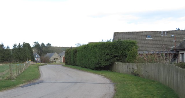
Access lane to Mill of Monquich, Netherley
Off B979.
 Map © Crown Copyright")
TIP: Click the map for more Large scale mapping
- Grid Square
- NO8595, 16 images (more nearby 🔍)
- Photographer
- Stanley Howe (more nearby)
- Date Taken
- Friday, 29 March, 2019 (more nearby)
- Submitted
- Thursday, 4 April, 2019
- Subject Location
-
OSGB36:
 NO 8514 9550 [10m precision]
WGS84: 57:3.0196N 2:14.7943W - Camera Location
-
OSGB36: NO 8505 9545
- View Direction
- East-northeast (about 67 degrees)