2015
NT8323 : Black Hill
taken 9 years ago, 3 km from Mowhaugh, Scottish Borders, Scotland
This is 1 of 2 images, with title Black Hill in this square
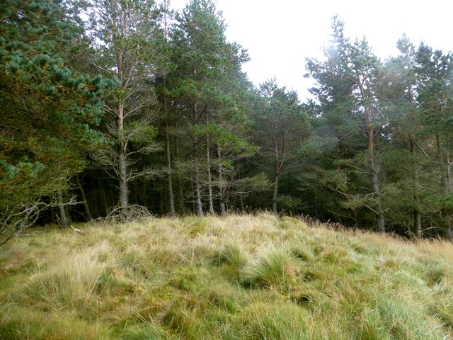
Black Hill
Parked at Attonburn then headed for Mow Law in the morning mist followed by White Law, Blackdean Curr, Black Hill, Wood Hill and Cove Hill on a six TUMP circuit with Smudge.
Name: Black Hill
Hill number: 13999
Height: 360m / 1181ft
Parent (Ma/M): 2302 The Cheviot
Section: 28B: The River Tweed to the English Border
County/UA: Scottish Borders (UA)
Class: Tump (300-399m)
Grid ref: NT 83234 23576
Summit feature: grassy mound
Drop: 66m
Col: 294m NT837234
Name: Black Hill
Hill number: 13999
Height: 360m / 1181ft
Parent (Ma/M): 2302 The Cheviot
Section: 28B: The River Tweed to the English Border
County/UA: Scottish Borders (UA)
Class: Tump (300-399m)
Grid ref: NT 83234 23576
Summit feature: grassy mound
Drop: 66m
Col: 294m NT837234
 Map © Crown Copyright")
TIP: Click the map for more Large scale mapping
- Grid Square
- NT8323, 9 images (more nearby 🔍)
- Photographer
- Rude Health (more nearby)
- Date Taken
- Saturday, 3 October, 2015 (more nearby)
- Submitted
- Tuesday, 13 October, 2015
- Subject Location
-
OSGB36:
 NT 83234 23576 [1m precision]
WGS84: 55:30.3399N 2:16.0197W - Camera Location
-
OSGB36: NT 8322 2357
- View Direction
- East-northeast (about 67 degrees)