2015
SH4075 : Royal Air Force Mona
taken 9 years ago, near to Heneglwys, Isle of Anglesey/Sir Ynys Mon, Wales
This is 1 of 2 images, with title starting with Royal Air Force in this square
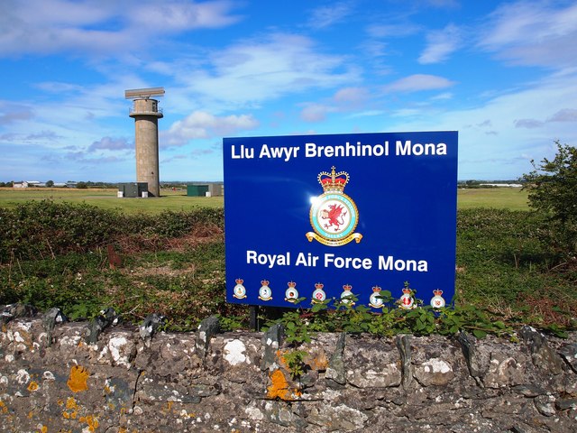
Royal Air Force Mona
The site is mainly used as a relief landing ground for RAF Valley.
 Map © Crown Copyright")
TIP: Click the map for more Large scale mapping
- Grid Square
- SH4075, 37 images (more nearby 🔍)
- Photographer
- Chris Andrews (more nearby)
- Date Taken
- Saturday, 18 July, 2015 (more nearby)
- Submitted
- Wednesday, 22 July, 2015
- Subject Location
-
OSGB36:
 SH 4078 7564 [10m precision]
WGS84: 53:15.2289N 4:23.2868W - Camera Location
-
OSGB36: SH 4078 7564
- View Direction
- Northeast (about 45 degrees)