2007
SH5371 : The road beneath the railway bridge to St Mary's Church
taken 17 years ago, near to Llanfair Pwllgwyngyll, Isle of Anglesey/Sir Ynys Mon, Wales
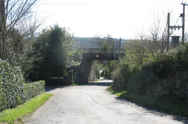
The road beneath the railway bridge to St Mary's Church
 Map © Crown Copyright")
TIP: Click the map for more Large scale mapping
- Grid Square
- SH5371, 188 images (more nearby 🔍)
- Photographer
- Eric Jones (more nearby)
- Date Taken
- Wednesday, 4 April, 2007 (more nearby)
- Submitted
- Wednesday, 4 April, 2007
- Subject Location
-
OSGB36:
 SH 537 713 [100m precision]
WGS84: 53:13.1516N 4:11.5229W - Camera Location
-
OSGB36: SH 537 714
- View Direction
- SOUTH (about 180 degrees)