2012
SH4075 : Royal Air Force Station Mona
taken 12 years ago, near to Heneglwys, Isle of Anglesey/Sir Ynys Mon, Wales
This is 1 of 2 images, with title starting with Royal Air Force in this square
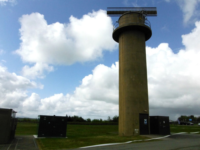
Royal Air Force Station Mona
Radar tower
 Map © Crown Copyright")
TIP: Click the map for more Large scale mapping
- Grid Square
- SH4075, 37 images (more nearby 🔍)
- Photographer
- Arthur C Harris (more nearby)
- Date Taken
- Tuesday, 15 May, 2012 (more nearby)
- Submitted
- Tuesday, 30 October, 2012
- Subject Location
-
OSGB36:
 SH 4085 7569 [10m precision]
WGS84: 53:15.2571N 4:23.2254W - Camera Location
-
OSGB36: SH 40856 75723
- View Direction
- SOUTH (about 180 degrees)