2012
SH4672 : A55 lay-by going east
taken 12 years ago, near to Pentre Berw, Isle of Anglesey/Sir Ynys Mon, Wales
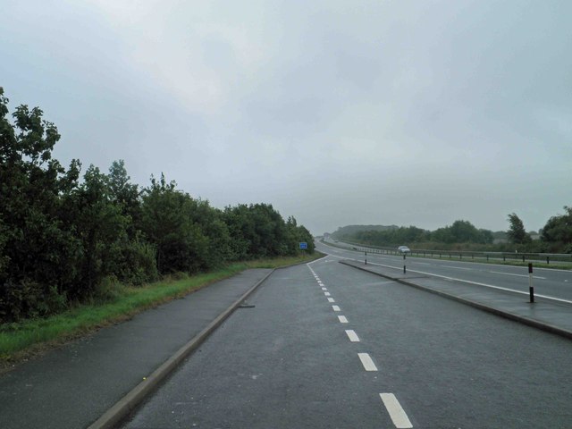
A55 lay-by going east
 Map © Crown Copyright")
TIP: Click the map for more Large scale mapping
- Grid Square
- SH4672, 36 images (more nearby 🔍)
- Photographer
- Steve Fareham (more nearby)
- Date Taken
- Monday, 16 July, 2012 (more nearby)
- Submitted
- Monday, 16 July, 2012
- Subject Location
-
OSGB36:
 SH 467 728 [100m precision]
WGS84: 53:13.8386N 4:17.8314W - Camera Location
-
OSGB36: SH 467 728
- View Direction
- East-southeast (about 112 degrees)