2010
TQ2980 : Far end of St James's Place
taken 14 years ago, near to City of Westminster, England
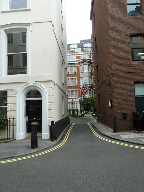
Far end of St James's Place
 Map © Crown Copyright")
TIP: Click the map for more Large scale mapping
- Grid Square
- TQ2980, 4929 images (more nearby 🔍)
- Photographer
- Basher Eyre (more nearby)
- Date Taken
- Thursday, 19 August, 2010 (more nearby)
- Submitted
- Tuesday, 28 December, 2010
- Subject Location
-
OSGB36:
 TQ 292 801 [100m precision]
WGS84: 51:30.3470N 0:8.3539W - Camera Location
-
OSGB36: TQ 292 801
- View Direction
- North-northwest (about 337 degrees)