2010
SH4672 : Malltraeth Marsh
taken 14 years ago, near to Pentre Berw, Isle of Anglesey/Sir Ynys Mon, Wales
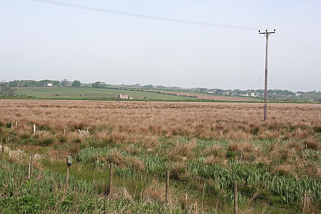
Malltraeth Marsh
This low-lying part of the island is wet and boggy, as you can see from the rushes in the fields.
 Map © Crown Copyright")
TIP: Click the map for more Large scale mapping
- Grid Square
- SH4672, 36 images (more nearby 🔍)
- Photographer
- Anne Burgess (more nearby)
- Date Taken
- Friday, 21 May, 2010 (more nearby)
- Submitted
- Saturday, 9 October, 2010
- Subject Location
-
OSGB36:
 SH 466 729 [100m precision]
WGS84: 53:13.8994N 4:17.9263W - Camera Location
-
OSGB36: SH 467 728
- View Direction
- Northwest (about 315 degrees)