2006
SH3572 : Rhosbadrig
taken 18 years ago, near to Bryn du, Isle of Anglesey/Sir Ynys Mon, Wales
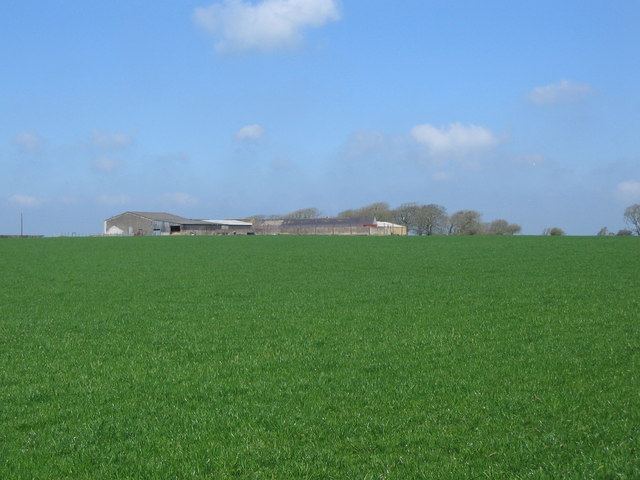
Rhosbadrig
A view to the northwest across farmland showing the buildings of Rhosbadrig.
 Map © Crown Copyright")
TIP: Click the map for more Large scale mapping
- Grid Square
- SH3572, 18 images (more nearby 🔍)
- Photographer
- Phil Williams (more nearby)
- Date Taken
- Friday, 21 April, 2006 (more nearby)
- Submitted
- Tuesday, 25 April, 2006
- Subject Location
-
OSGB36:
 SH 358 723 [100m precision]
WGS84: 53:13.3381N 4:27.6579W - Camera Location
-
OSGB36: SH 359 720
- View Direction
- North-northwest (about 337 degrees)