2006
SH4076 : Road to Brynclaf
taken 18 years ago, near to Heneglwys, Isle of Anglesey/Sir Ynys Mon, Wales
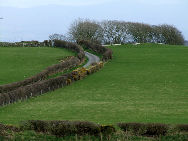
Road to Brynclaf
The access road to Brynclaf, near to the Bodwina pig farm
 Map © Crown Copyright")
TIP: Click the map for more Large scale mapping
- Grid Square
- SH4076, 23 images (more nearby 🔍)
- Photographer
- Nigel Williams (more nearby)
- Date Taken
- Saturday, 15 April, 2006 (more nearby)
- Submitted
- Sunday, 16 April, 2006
- Subject Location
-
OSGB36:
 SH 408 763 [100m precision]
WGS84: 53:15.5849N 4:23.2886W - Camera Location
-
OSGB36: SH 405 765
- View Direction
- East-southeast (about 112 degrees)