2009
NY8279 : Blacka Burn tributary
taken 15 years ago, 4 km SSW of Bellingham, Northumberland, England
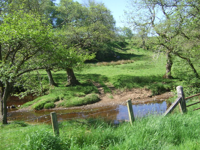
Blacka Burn tributary
Near here Swineshaw Burn and March Burn have all merged with Pundershaw Burn and this short stretch feeds into Blacka Burn.
 Map © Crown Copyright")
TIP: Click the map for more Large scale mapping
- Grid Square
- NY8279, 27 images (more nearby 🔍)
- Photographer
- Simon Johnston (more nearby)
- Date Taken
- Saturday, 30 May, 2009 (more nearby)
- Submitted
- Saturday, 20 June, 2009
- Subject Location
-
OSGB36:
 NY 820 795 [100m precision]
WGS84: 55:6.5799N 2:16.9461W - Camera Location
-
OSGB36: NY 821 795
- View Direction
- South-southwest (about 202 degrees)