2008
SH3572 : Wetland east of Ty Croes station
taken 16 years ago, near to Bryn du, Isle of Anglesey/Sir Ynys Mon, Wales
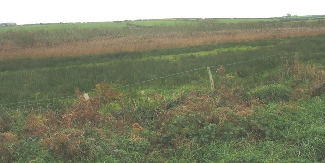
Wetland east of Ty Croes station
The railway occupies a cutting in the wetland.
 Map © Crown Copyright")
TIP: Click the map for more Large scale mapping
- Grid Square
- SH3572, 18 images (more nearby 🔍)
- Photographer
- Eric Jones (more nearby)
- Date Taken
- Tuesday, 4 November, 2008 (more nearby)
- Submitted
- Wednesday, 5 November, 2008
- Subject Location
-
OSGB36:
 SH 353 721 [100m precision]
WGS84: 53:13.2703N 4:28.0675W - Camera Location
-
OSGB36: SH 355 723
- View Direction
- West-southwest (about 247 degrees)