2008
SH3671 : The Glanrafon road
taken 16 years ago, near to Bryn du, Isle of Anglesey/Sir Ynys Mon, Wales
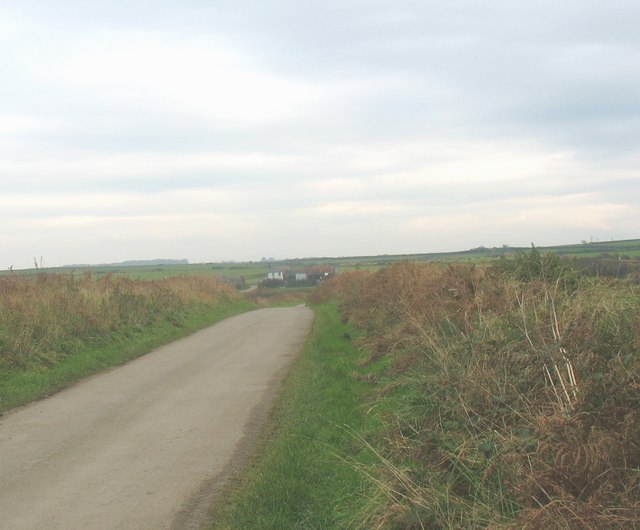
The Glanrafon road
This road from Ty Croes runs parallel with the railway line. Glanrafon Farm can be seen in the middle distance.
 Map © Crown Copyright")
TIP: Click the map for more Large scale mapping
- Grid Square
- SH3671, 23 images (more nearby 🔍)
- Photographer
- Eric Jones (more nearby)
- Date Taken
- Tuesday, 4 November, 2008 (more nearby)
- Submitted
- Wednesday, 5 November, 2008
- Subject Location
-
OSGB36:
 SH 362 718 [100m precision]
WGS84: 53:13.1250N 4:27.2682W - Camera Location
-
OSGB36: SH 361 719
- View Direction
- East-southeast (about 112 degrees)