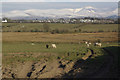
Grid reference SH5172
near to Llanfair Pwllgwyngyll, Isle of Anglesey/Sir Ynys Mon, Wales
Coverage
We have
18 images
in grid square SH5172
Contribute
Explore gridsquare SH5172
Surrounding area
Maps
 Map © Crown Copyright")
TIP: Click the map for more Large scale mapping
Tip: Click the map to open the coverage map
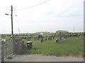
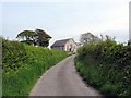
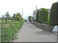
Sample images
Breakdown list
Category breakdown
We have
18 images
for SH5172
Because there are so many images for this square, please select images by Category:
The groupings will show an example image [total number in brackets].
· in category [3]
[Centisquare Distribution]· in category Cemetery [1] · in category Chapel [2]
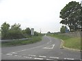
[Centisquare Distribution]· in category Country road [2]
[Centisquare Distribution]· in category Hamlet [2]
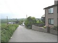
[Centisquare Distribution]· in category Housing estate [1] · in category Lane [2]
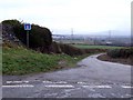
[Centisquare Distribution]· in category Road junction [1] · in category Stream [1] · in category Village [2]
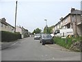
[Centisquare Distribution]· in category Village street [1]