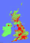
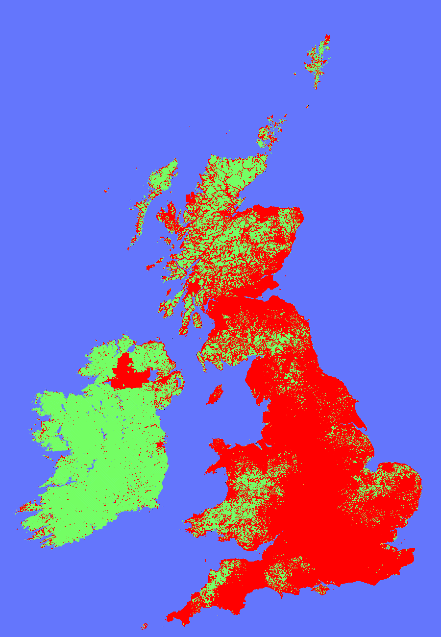
Coverage Tiles
Animation GIF : 1.7Mb
Discussion Thread
Coverage Now (live)
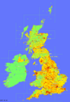
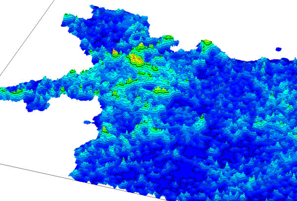
Depth Tiles
Animation GIF : 1.2Mb
Discussion Thread
Coverage Now (live)
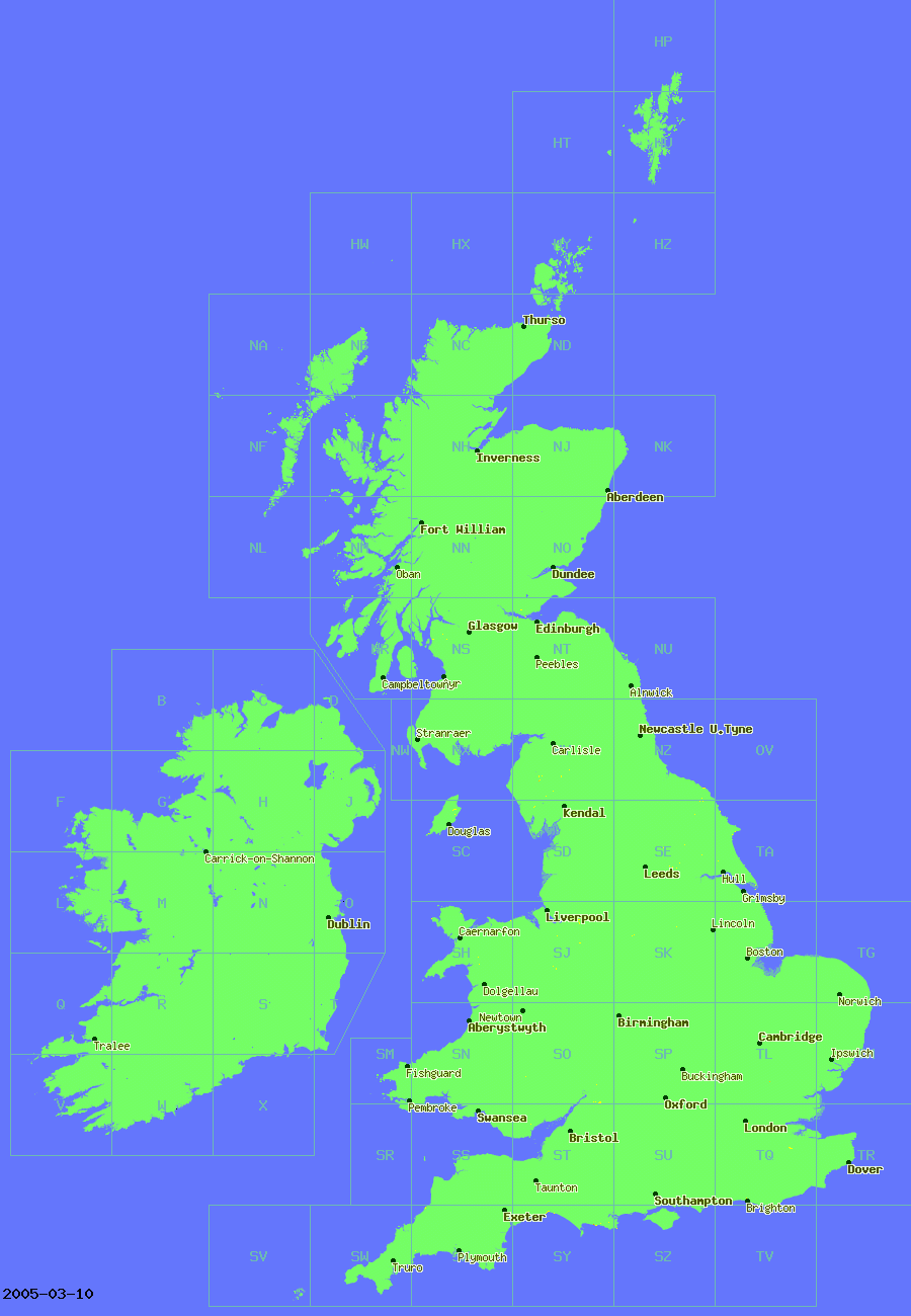
Currency Tiles
Interactive Viewer
Discussion Thread
Coverage Now (live)

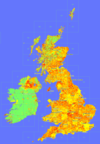
Interactive Viewer
Transparent Tiles
Discussion Thread
Experiments
Discussion Thread
· Experiments with styles of Depth Maps (Thread)
· Visualizing depth of Groups (Thread)
· Visualizing locations of Searches run (Thread)
also Thread about 2008 specific animations